How FishSat Predicts Fish Zones
FishSat uses advanced Earth Observation data to detect areas where fish are most likely to thrive. By monitoring chlorophyll concentration, sea surface temperature, water conditions and others, our system provides fishermen with accurate, real-time insights.
These insights reduce wasted time and fuel, improve catches, and support long-term sustainability of fisheries.
Core Capabilities
Satellite Data
Satellite imagery is analyzed for chlorophyll levels and other oceanographic conditions.
AI Analysis
Machine learning models detect anomalies and predict potential fish-rich areas.
Interactive Maps
Color-coded maps show fishermen where to focus their efforts.
Community Impact
Fishermen save fuel, increase income, and reduce overfishing risks.
Step-by-Step Process
Data Collection
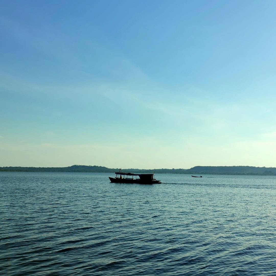
Satellite imagery is collected daily for Lake Victoria and surrounding waters.
Analysis
AI algorithms process chlorophyll concentration, water temperature, and turbidity and others to locate high-potential fishing zones.
Visualization
Interactive maps and dashboards highlight fish-rich areas in real time.
Delivery
Insights are delivered to fishermen, NGOs, and government agencies for smarter fishing practices.